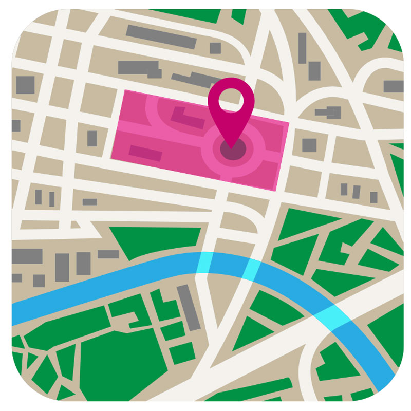
Geofencing
Geofencing refers to the digital delimitation of different local areas. The size of these local areas can vary from very detailed boundaries, e.g. a specific shelf in a warehouse, to very broad areas, e.g. an entire country.
By delimiting certain areas with the help of geofencing and linked status changes, notifications or workflows (e.g. when leaving or arriving in a local area), processes in logistics can be automated. A practical example of geofencing in logistics is the sending of a status message from the driver’s mobile device to the forwarding company as soon as the driver has reached the destination. Geofencing can also be used to track a transport order. The forwarders can thus see where a driver is currently located on the route in real time and how long the delivery will take. Furthermore, it is a fully automated and reliable alternative to manual time recording, because geofencing can determine when a driver leaves, when he takes a break and when he arrives.
Geofencing is also used in the forwarding software CarLo and the telematics solution CarLo inTOUCH. Using GPS positioning, the actual times for arrival at and departure from a stop are automatically determined. Furthermore, an automatic notification can be sent to the customer or dispatcher in case of a delay.
See also:
Estimated Time of Arrival (ETA) The term ETA is used in air and sea freight, but is now also a common term in road transport. The complex calculation of the ETA i [...] Telematics Per definition, telematics is a combination of the terms telecommunication and informatics, and also a fusion of the u [...] Track & Trace The term track & trace most commonly refers to electronic consignment tracking. Tracking makes it possible to determine the [...]